
These images are associated with the “US 31” topic.
 Description: A sign for the William H. Natcher Parkway. Also includes a "Toll Road" banner. Full image size: [177x239 13.10KB] Gallery: KentuckyRoads.com - Miscellaneous Signs | 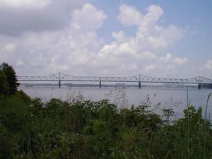 Description: US 31 Second Street Bridge (a.k.a. Clark Memorial Bridge) in Louisville Full image size: [640x480 49.39KB] Gallery: Bridges of the Ohio River |
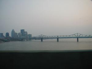 Description: The US 31 George Rogers Clark Memorial Bridge/Second Street Bridge over the Ohio River in downtown Louisville, KY viewed from the I-65 John F. Kennedy Bridge. Full image size: [640x480 22.88KB] Gallery: US 31 - George Rogers Clark Memorial Bridge (Second Street Bridge) | 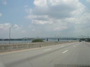 Description: The US 31 George Rogers Clark Memorial Bridge/Second Street Bridge over the Ohio River in downtown Louisville, KY viewed from eastbound I-64 in downtown Louisville. Full image size: [640x480 30.10KB] Gallery: US 31 - George Rogers Clark Memorial Bridge (Second Street Bridge) |
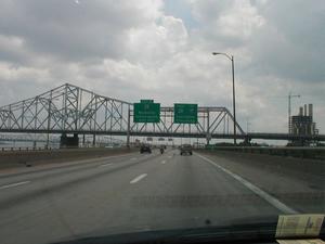 Description: The US 31 George Rogers Clark Memorial Bridge/Second Street Bridge over the Ohio River in downtown Louisville, KY viewed from eastbound I-64 in downtown. Full image size: [640x480 42.13KB] Gallery: US 31 - George Rogers Clark Memorial Bridge (Second Street Bridge) | 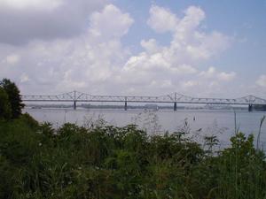 Description: The US 31 George Rogers Clark Memorial Bridge/Second Street Bridge over the Ohio River in downtown Louisville, KY viewed from Waterfront Park. Full image size: [640x480 49.39KB] Gallery: US 31 - George Rogers Clark Memorial Bridge (Second Street Bridge) |
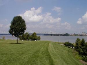 Description: The US 31 George Rogers Clark Memorial Bridge/Second Street Bridge over the Ohio River in downtown Louisville, KY viewed from Waterfront Park. Full image size: [640x480 46.58KB] Gallery: US 31 - George Rogers Clark Memorial Bridge (Second Street Bridge) | 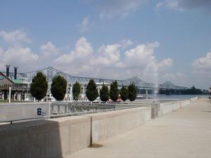 Description: The US 31 George Rogers Clark Memorial Bridge/Second Street Bridge over the Ohio River in downtown Louisville, KY viewed from Waterfront Park. Full image size: [640x480 42.35KB] Gallery: US 31 - George Rogers Clark Memorial Bridge (Second Street Bridge) |
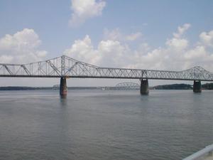 Description: The US 31 George Rogers Clark Memorial Bridge/Second Street Bridge over the Ohio River in downtown Louisville, KY viewed from Waterfront Park. Full image size: [640x480 40.19KB] Gallery: US 31 - George Rogers Clark Memorial Bridge (Second Street Bridge) |  Description: Sign for the William H. Natcher Parkway on US 31W in Bowling Green. (June 17, 2001) Full image size: [640x480 41.23KB] Gallery: KentuckyRoads.com - Miscellaneous Signs |
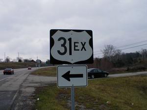 Description: Signage at the intersection of US 31E and US31EX south of Mount Washington. Full image size: [640x480 43.67KB] Gallery: US 31E - Mount Washington's US 31EX | 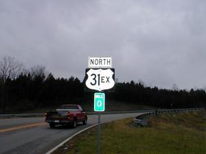 Description: Start of US 31EX north bound south of Mount Washington. Full image size: [640x480 37.14KB] Gallery: US 31E - Mount Washington's US 31EX |
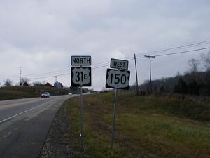 Description: US31E and US 150 signage just north of the southern US 31EX intersection. Full image size: [640x480 41.55KB] Gallery: US 31E - Mount Washington's US 31EX | 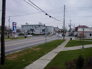 Description: US 31EX and KY 44 intersection in downton Mount Washington. Full image size: [640x480 59.26KB] Gallery: US 31E - Mount Washington's US 31EX |
![[US 31W]](../images/shields/us31wshield.gif) Description: [US 31W] Full image size: [80x80 1.69KB] Gallery: KentuckyRoads.com - Highway Shields | ![[US 31E]](../images/shields/us31eshield.gif) Description: [US 31E] Full image size: [80x80 1.62KB] Gallery: KentuckyRoads.com - Highway Shields |
![[US 31]](../images/shields/us31shield.gif) Description: [US 31] Full image size: [80x80 1.48KB] Gallery: KentuckyRoads.com - Highway Shields |  Description: Mile marker and county identification entering Edmonson County from Warren County on US 31W. Full image size: [792x594 411.76KB] Gallery: KentuckyRoads.com - Miscellaneous Signs |
 Description: Regulatory sign denoting fine for littering. Full image size: [792x594 380.83KB] Gallery: KentuckyRoads.com - Miscellaneous Signs |  Description: Sign encouraging Kentuckians to drive smartly. Full image size: [792x594 309.95KB] Gallery: KentuckyRoads.com - Miscellaneous Signs |
 Description: Sign encouraging Kentuckians to drive smartly. Full image size: [792x594 328.76KB] Gallery: KentuckyRoads.com - Miscellaneous Signs |  Description: Entering Warren County from Edmonson County along US 31W. Full image size: [792x594 324.20KB] Gallery: KentuckyRoads.com - Miscellaneous Signs |
 Description: Signage at the intersection of KY 255 and US 31W in Park City. Full image size: [594x792 320.63KB] Gallery: KentuckyRoads.com - Miscellaneous Signs |  Description: Signage at the intersection of KY 90 and US 31W in Cave City. Full image size: [792x594 365.81KB] Gallery: KentuckyRoads.com - Miscellaneous Signs |
 Description: US 31W also serves as KY 70 By-pass in Cave City. Full image size: [792x594 387.61KB] Gallery: KentuckyRoads.com - Miscellaneous Signs |  Description: Typical mileage sign along US 31W. Full image size: [792x594 355.02KB] Gallery: KentuckyRoads.com - Miscellaneous Signs |
Featured Items: [About this Site] [Hal Rogers Parkway] [Clay's Ferry Bridge] [Glen Lily Road Overpass] [Suggested Links] [Travel Information] [William H. Natcher Bridge]
| Copyright © 2001-2023 by Jeffrey Carlyle. All rights reserved. This website is not associated with any government agency. |