
The I-75 Clay's Ferry Bridge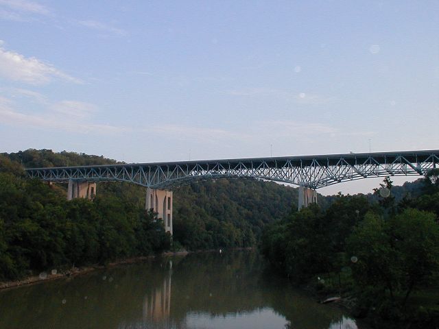
Interstate 75 crosses the Kentucky River near the community of Clay's Ferry. Though from I-75 the bridge appears to be one structure, the bridge is actually the combination of three different structures. The first part of the current structure was completed as part of US 25 in August 1946. When the bridge opened it was the 7th highest bridge in the United States. A parallel structure opened in 1963 when the road became part of I-75. From 1993 to 1998, a third structure was completed between the two existing bridges. This combined the two parallel bridges into one six lane structure as part of the effort to widen I-75 to at least six lanes through the entire state.
US 25 and US 421 are both multiplexed with I-75 over the bridge. The original route through the area is now KY 2328. KY 2328 descends into the Kentucky River valley and crosses over the river on a one-lane wrought iron bridge. This iron bridge originally opened in 1869.
The bridge connects Fayette County and Madison County south of Lexington.
Photographs:
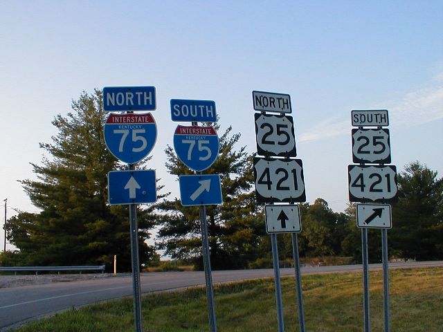 Signage for the I-75 interchange at the northern terminus of KY 2328. This is Exit 99 off of I-75. [Image Information] |
 Looking South on I-75 towards the Clays Ferry Bridge from Exit 99 [Image Information] |
 Looking South on I-75 towards the Clays Ferry Bridge from Exit 99 [Image Information] |
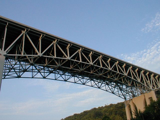
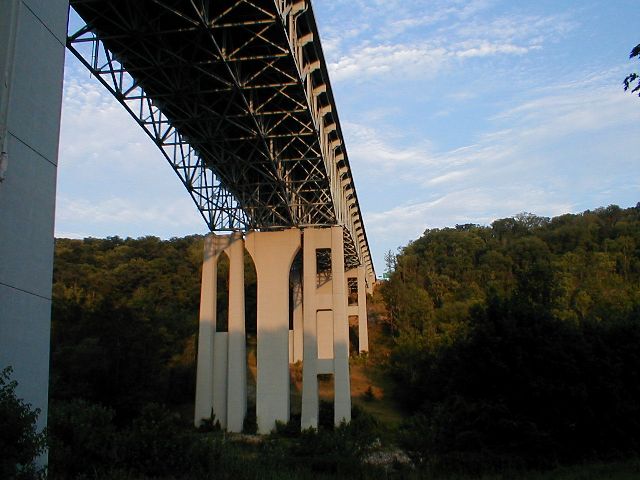 Underneath the bridge. [Image Information] |
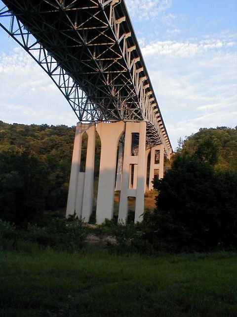
 South end of the bridge viewed from KY 2328. [Image Information] |
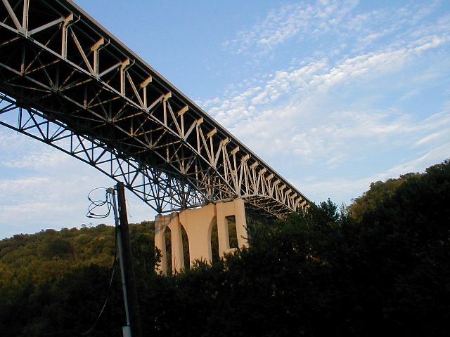
 The central span of the bridge, viewed from KY 2328. [Image Information] |
 Looking towards the north end of the bridge. [Image Information] |
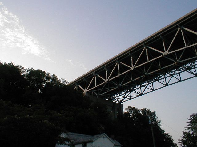
 Looking south from underneath the bridge. [Image Information] |
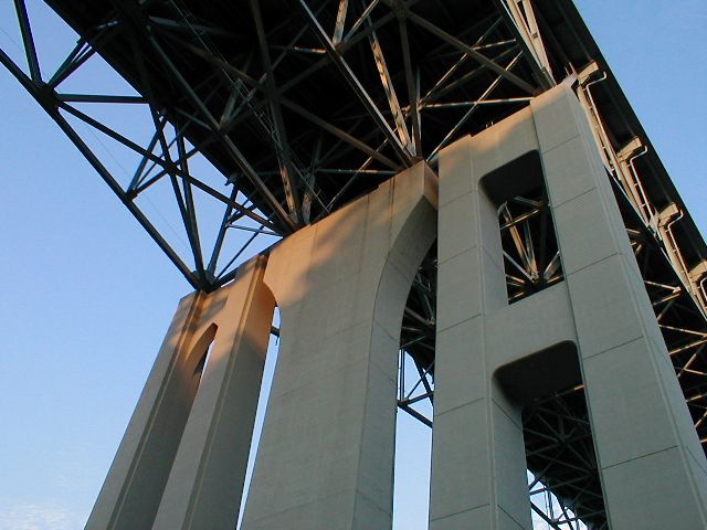 Looking at the three distinct styles of piers used to support the bridge. [Image Information] |
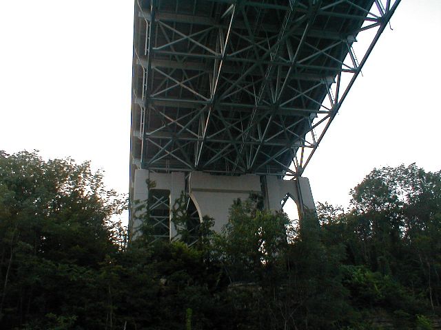 Looking north underneath the bridge. [Image Information] |
The I-75 Clays Ferry Bridge as viewed from the east on KY 2328's bridge over the Kentucky River. [Image Information] |
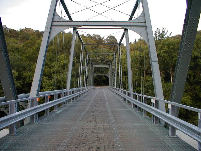 KY 2328's one lane wrought iron bridge over the Kentucky River. [Image Information] |
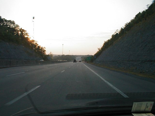 Heading north on I-75 about to cross the Clays Ferry Bridge. [Image Information] |
Reference: The Kentucky Encyclopedia, "Clay's Ferry Bridge," pg. 205-6
Related news topics: [Fayette County] [Interstate 75] [KY 2328] [Madison County] [US 25] [US 421]
Featured Items: [About this Site] [Hal Rogers Parkway] [Clay's Ferry Bridge] [Glen Lily Road Overpass] [Suggested Links] [Travel Information] [William H. Natcher Bridge]
| Copyright © 2001-2023 by Jeffrey Carlyle. All rights reserved. This website is not associated with any government agency. |